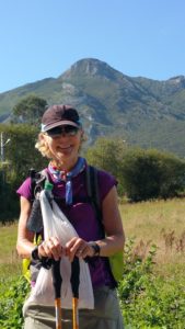
We are still at 252 miles hiked. Today was our scheduled rest day, and we are working hard at doing just that.
In planning the next day’s hike, there are three things that we typically do. The first is to review the guide book to better understand what course is ahead of us and any special planning we might need.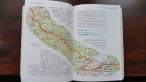
The above is a snapshot of the primary guide that we use. This is supplemented with an online guide written in Spanish (Gronze.com) which is very helpful also.
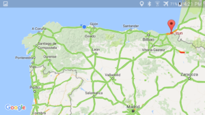
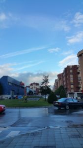
The next thing we do is look for the location of the hotel at our next stop, using Google Maps. While we do not have a data or cell plan for Europe, when we are near the internet (wifi) we can access more complete map information from Google Maps. One feature of Google Maps is that, once the info is seen, it then stores that more detailed information in local memory which can be accessed even when on the road. Below is a snapshot of Gijon and our hotel location. 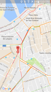
As we approach the town, Bill pulls out his phone and uses the GPS locator as a tracking device to match our location with a hotel location. Normally, it works very well.
We say normally, because every once in awhile there is a town that Google Maps hasn’t quite figured out. Celorio was one such town. The snapshot below shows what Google Maps believes to be the roads around our hotel Pension Mariaje.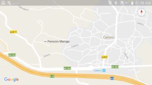
As we approached from the right of that screen shot, it looked like we had many possibilities to reach Pension Mariaje. In fact, most of the roads shown did not exist. And many others that aren’t shown did exist. And those that did exist are only slightly larger than goat trails. We ended up having to go to the major highway (below) which we knew existed and then come around from the left. It worked. And, one error out of almost three weeks is not too bad.
The third thing we do every evening is to stake out where the Camino leaves the town. It is challenging to wake up in the morning all dressed up to hike and no idea where to go. Net, we always look for the arrows out of town. We are blessed in that this hotel, Carlos I, is right on the Camino. In fact, the Camino indicators are literally right at the hotel.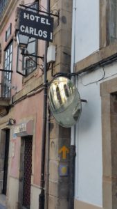
In closing, this has been a good stay in Villaviciosa, which is celebrating this week. In the main plaza they had local dancing.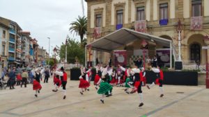 it was very fun to watch.
Tomorrow we resume the hike, and we expect a great deal of rain. We still intend to thoroughly enjoy yourselves.
Hope all is well with each of you. God bless, Bill and Diane.
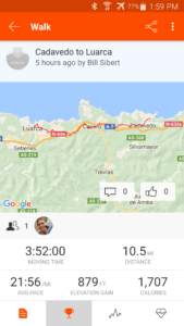
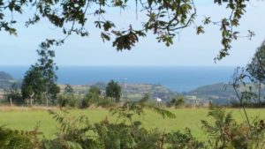
 While a very long stage, the countryside was beautiful and the coastline was visible just a couple of miles to our right hand side, so we enjoyed most of the walk. To be fair, the last few miles were mostly about where IS this place we’re staying at?
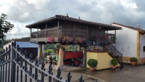
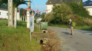 For the last three hundred miles I’ve been thinking of photographing some of the poorest signs, and haven’t done it. So we’ll have to settle for this one, which is really not too bad.
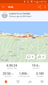
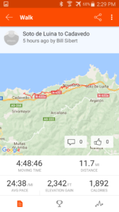
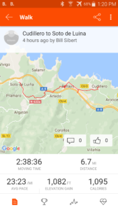
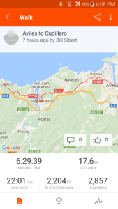
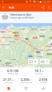
 A quick note about this Strava screenshot, it appears that I am not the only one using Strava on the Camino Del Norte. If you look just below the map on the screen shot, you will see one other person noted. Apparently this other person recorded their walk, which was the same as Diane and my walk, on Strava today.
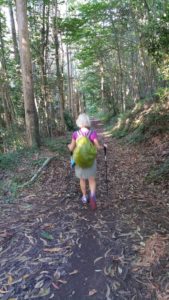 and then into open meadowland,
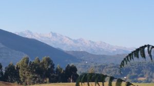
 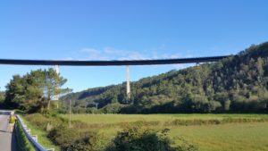 and then the spectacular view of the coast as we approached the town of Luarca.
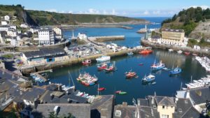
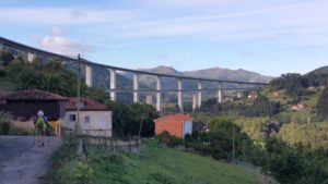
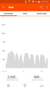 It looks like the teeth on a buzz saw. That profile is the reason why we ended up with nearly 2300 feet of climbing in only 12 miles. Several of our fellow peregrinos made the decision to stay on the road at one elevation rather than dropping down into the coves. While it no doubt saved them some climbing, they missed sights such as this.
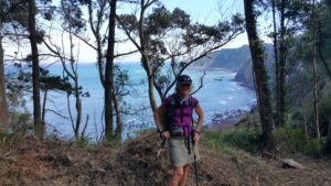
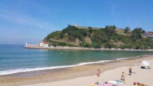
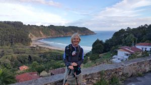
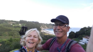
 The local coast and town, in typical Spanish fashion, are beautiful.
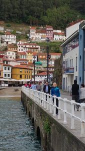
 Diane is convinced that in addition to her rain pants and rain jacket, next time she will be using her Poncho. Without question, this was the most significant rainfall we have encountered in eight weeks of hiking on various Caminos.
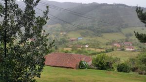
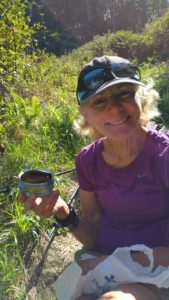
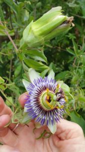
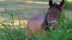 here is one peeking over the bush, looking for a handout!
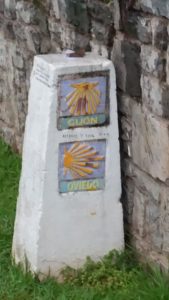
 This is apparently the mark from several pilgrims.