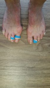
19 miles for about 236 miles total. We are fine, but the feet are feeling the wear and tear.
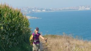
Today’s stage promised to be a 16 Mile day, with a mix of Inland and Coastal views. One of the things we have learned about Asturias is that there are many beautiful things to see. To ensure that the pilgrims sees them all, there are many many optional paths that we could take. And everyone favors one vs. the other. With multiple miles on our feet, we were hoping to keep this 16-mile day to a 16-mile day.
Shortly after we started to walk, a local informed us of the beautiful Coastal walk versus the Inland route. While we pretended that we couldn’t understand Spanish, he converted to English and begin to explain the virtues of the coastal route. We acquiesced and proceeded along that trail, knowing that it would end up being longer.
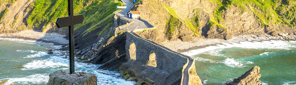
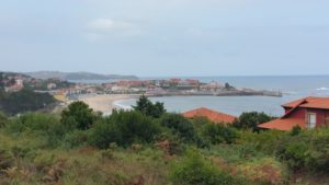
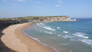
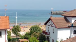
He was right, of course, it was more beautiful. And we were right that it was longer. First the photos of the day.
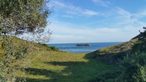
Clearly, the coastal route was beautiful. Unfortunately Bill’s foot, which had been problematic for the last 2 or 3 days ,begin to hurt even more. And the extra 3 or so Miles this route took those didn’t help. By the time we were in Celorio, he was more than ready to be there.
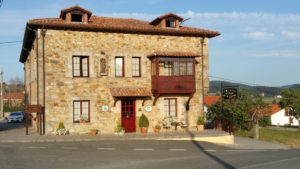
Our last challenge awaited. Apparently, Google isn’t 100% foolproof. While Bill had located the hotel the previous night on his phone using the internet that was available, when we arrived in Celorio the streets around the hotel did not exist! We searched and searched for a way to get to the hotel, finding streets that were not on the map and finding streets that were on the map that didn’t exist! We finally tried a route 180 degrees opposite of our existing approach and succeeded in locating our hotel. While it would have been difficult to find with a good Google Map, it was nearly impossible with a bad map. Nonetheless, we had arrived!
Problems like very poor internet and no restaurant within a mile that served a dinner were minor at this point. We managed to fuel our bodies (grocery store) and clean are closed in preparation for the next day.
One final note, with lots of ice, rest, massage etcetera Bill prepared his foot for the next day, hoping that it will work one more day.

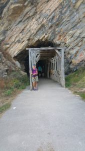
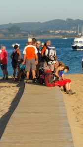 Here many of the peregrinos are lined up waiting for their chance to climb aboard the ferry.
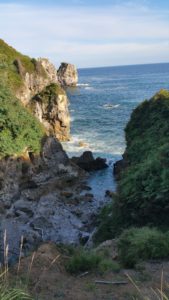
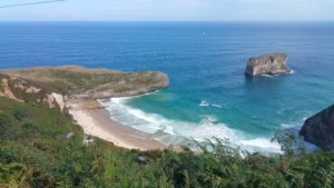
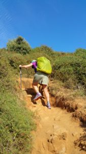 While this photo doesn’t look that challenging, what you can’t see is just behind Diane is about a 200-foot fall should she choose to make a mistake. This was, without question, the most challenging portion of trail we have found on any Camino.
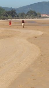 Again, perspective is lacking in the photo, as the beach went on and on and on. It was really very cool.
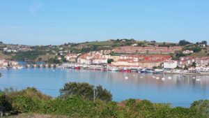
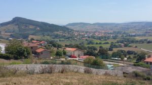 Somewhere over the top of the last mountain range you see is the ocean we left behind. Not to worry, because tomorrow we will see the ocean again just before we enter the large city of Santander.
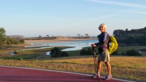
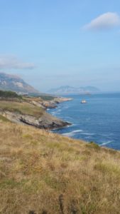 for about 5 miles, the path followed in this fashion. Thereafter, a river inlet forced us to turn inland.
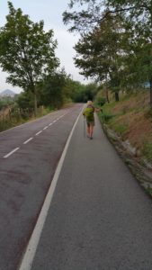
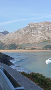 to the left of this photo the river goes into a valley for several miles. At this point, we needed to make a decision. Continue into the valley and had six more miles to our walk or, follow the highway for 15 kilometers to reach our next destination of Loredo. We opted for walking along the highway. It was a backwoods Highway and so wasn’t crowded it was still very forested, but it wasn’t a natural Trail.
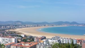
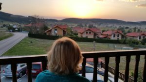
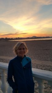 and sunrises.

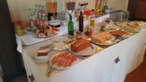
 What a great place to do laundry and get ready for tomorrow.